

Under Construction
One of the 114 wind turbines during the installation process at the Pryor Mountain Wind Project near Bridger, Montana. (DJI Mavic Air 2)
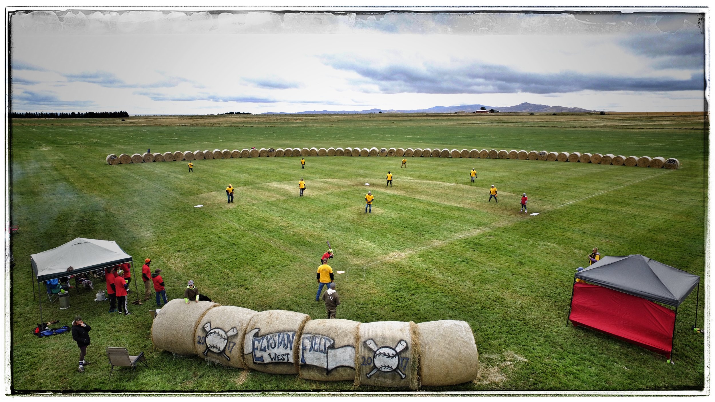
Elysian Field
Near Ralston, Wyoming. (DJI Phantom 3)

Heart Mountain Vista
Near Clarks Fork Canyon. (DJI Phantom 3)

Two-On-Two
Powell Middle School evening pick-up game. (DJI Phantom 3)

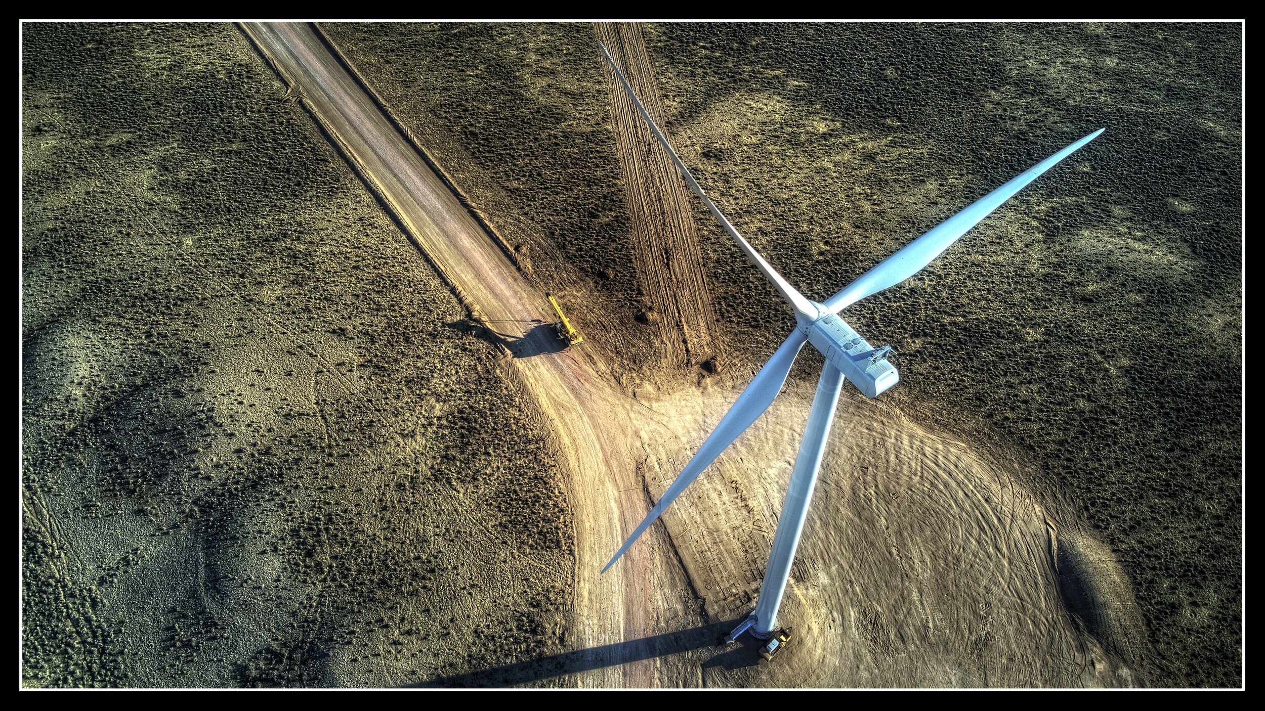
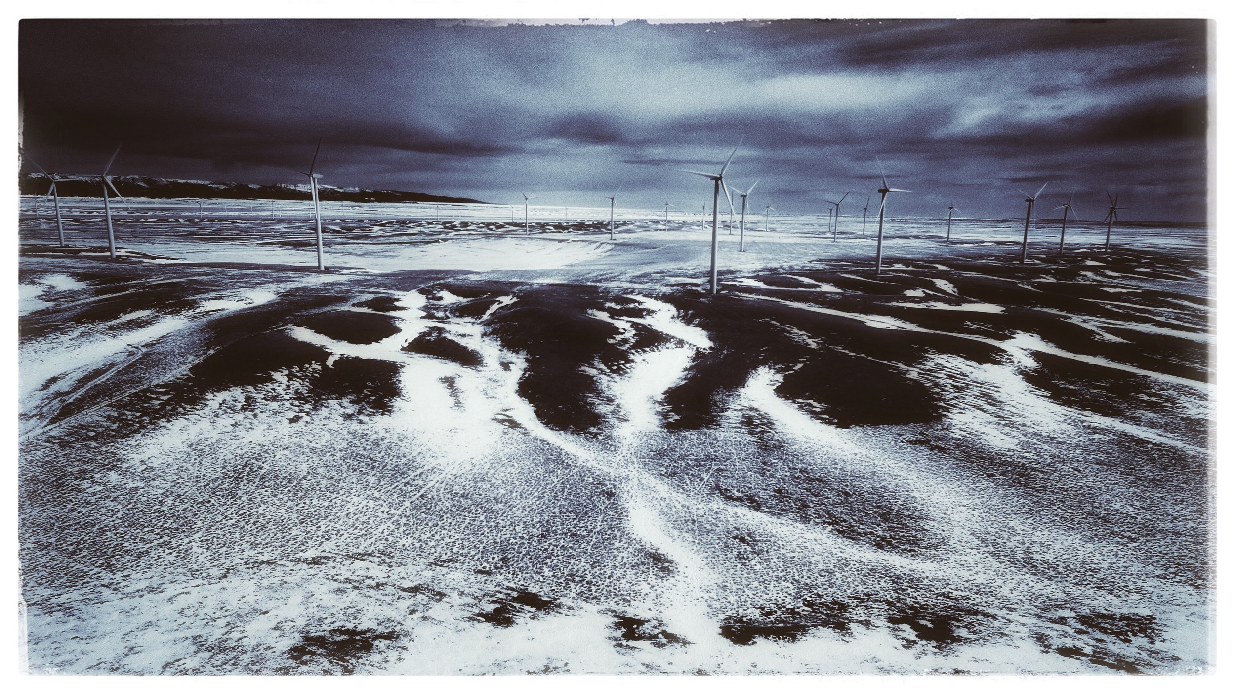
Pryor Mountain Wind Project
Still under construction, this new wind farm will generate enough power to meet the demands of over 76,000 households. (DJI Mavic Air 2)

Fishing Hole
Fly fishing on the Clarks Fork of the Yellowstone near Clark, Wyoming. (DJI Mavic Air 2)
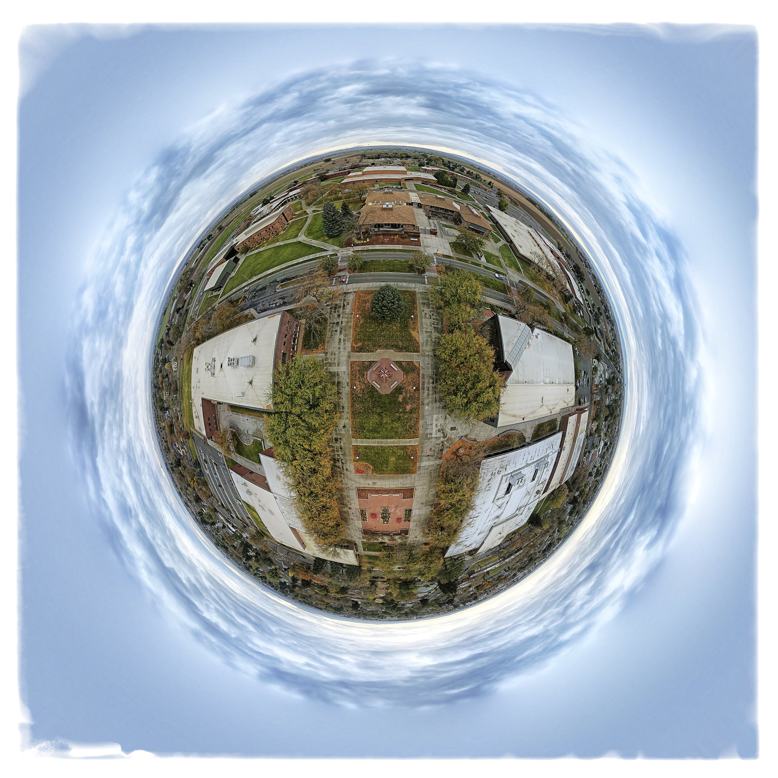
Planet Northwest College
A globalized 360° image of the junior college campus in Powell, Wyoming. (DJI Mavic Air 2)

Northwest College
Only 70 miles from the East Entrance of Yellowstone National Park, NWC is now considering a new name—Yellowstone College. (DJI Mavic Air 2)
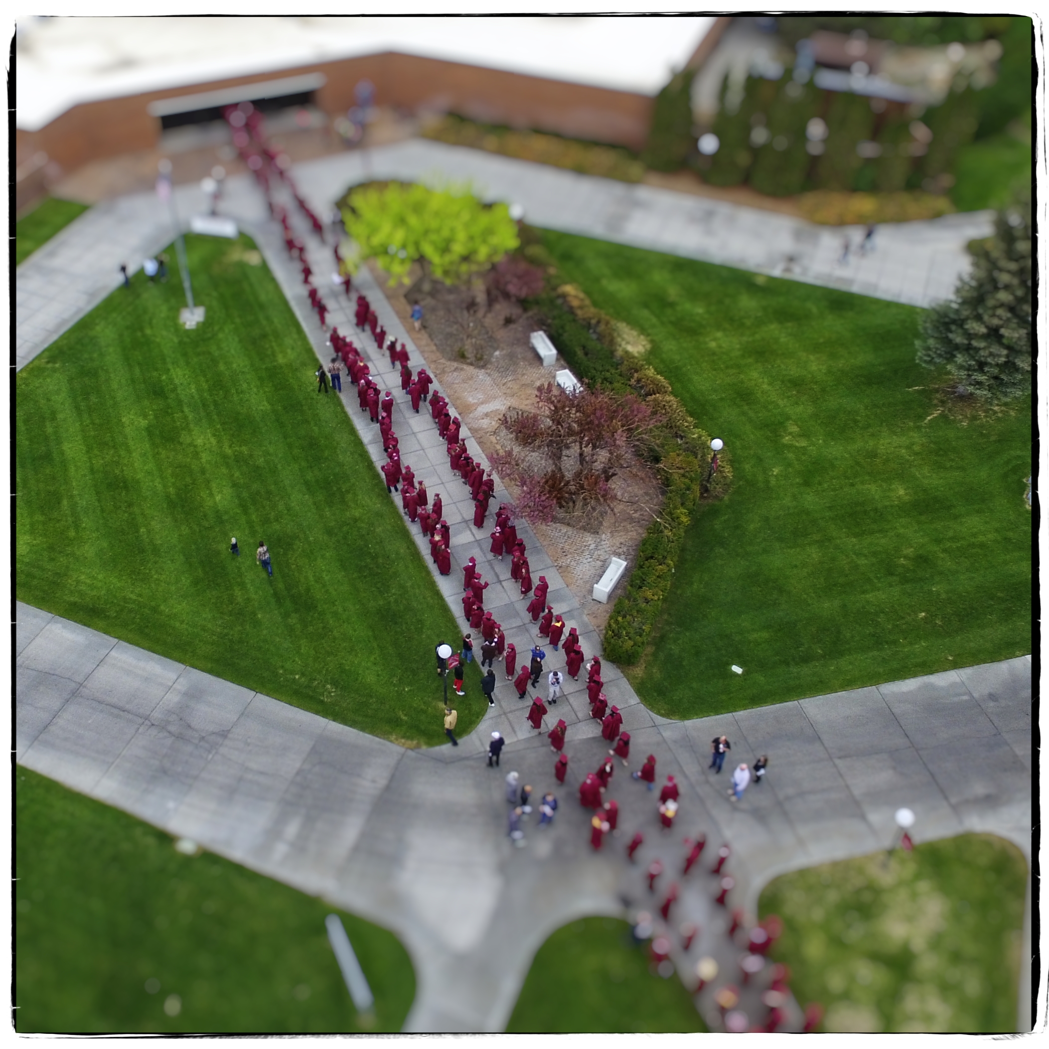
Graduation
Northwest College, Powell, Wyoming. (DJI Phantom 3)
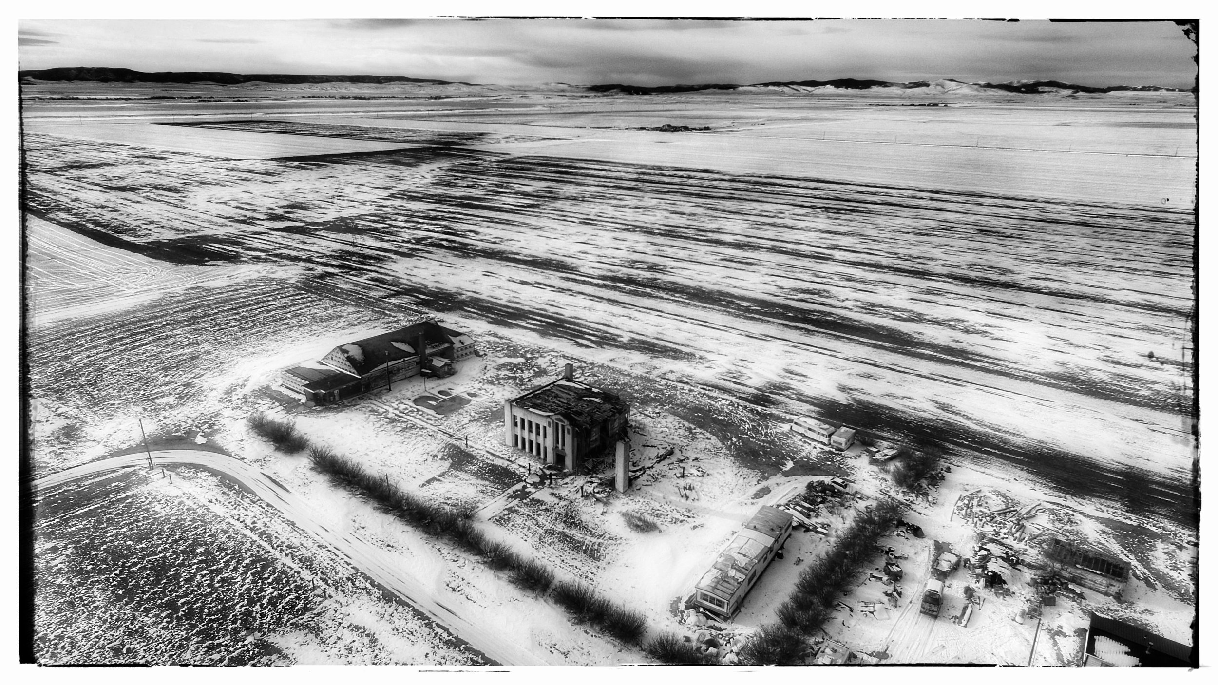
Moccasin School
Nearly half of the old school has collapsed now. The remaining structure probably won't be around much longer. (DJI Phantom 3)
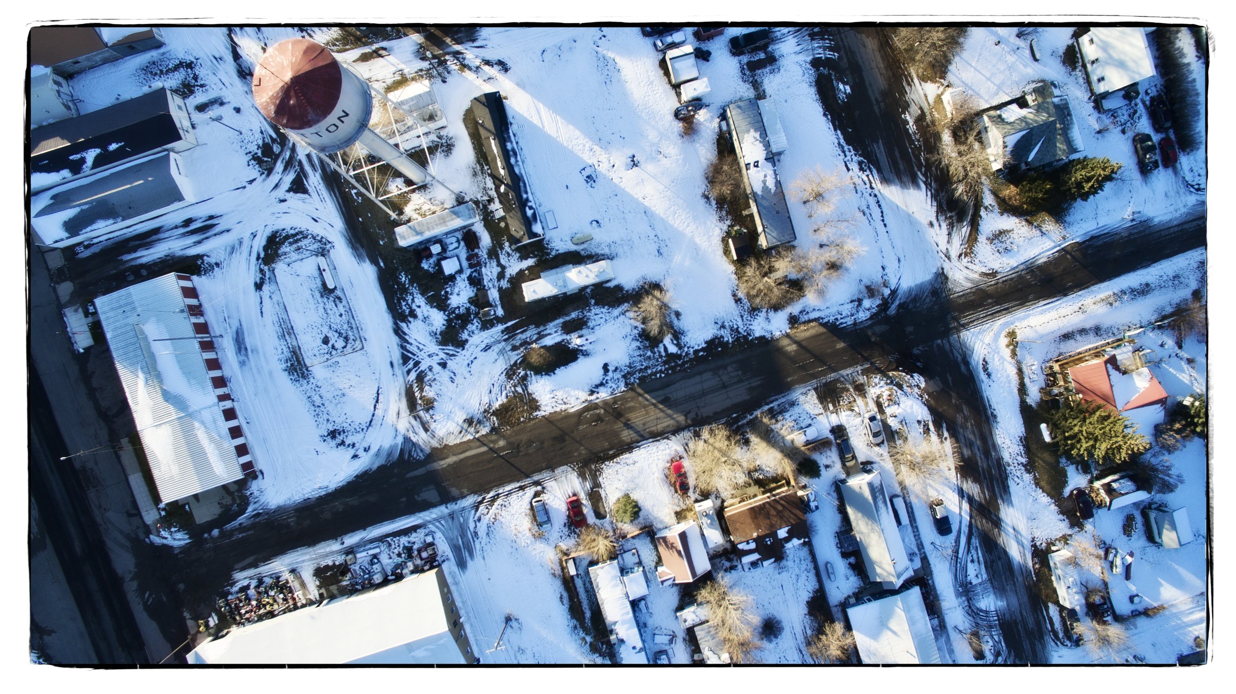
Dutton, Montana.
A November snow covers much of Dutton, Montana during this late afternoon flight. (DJI Phantom 3)
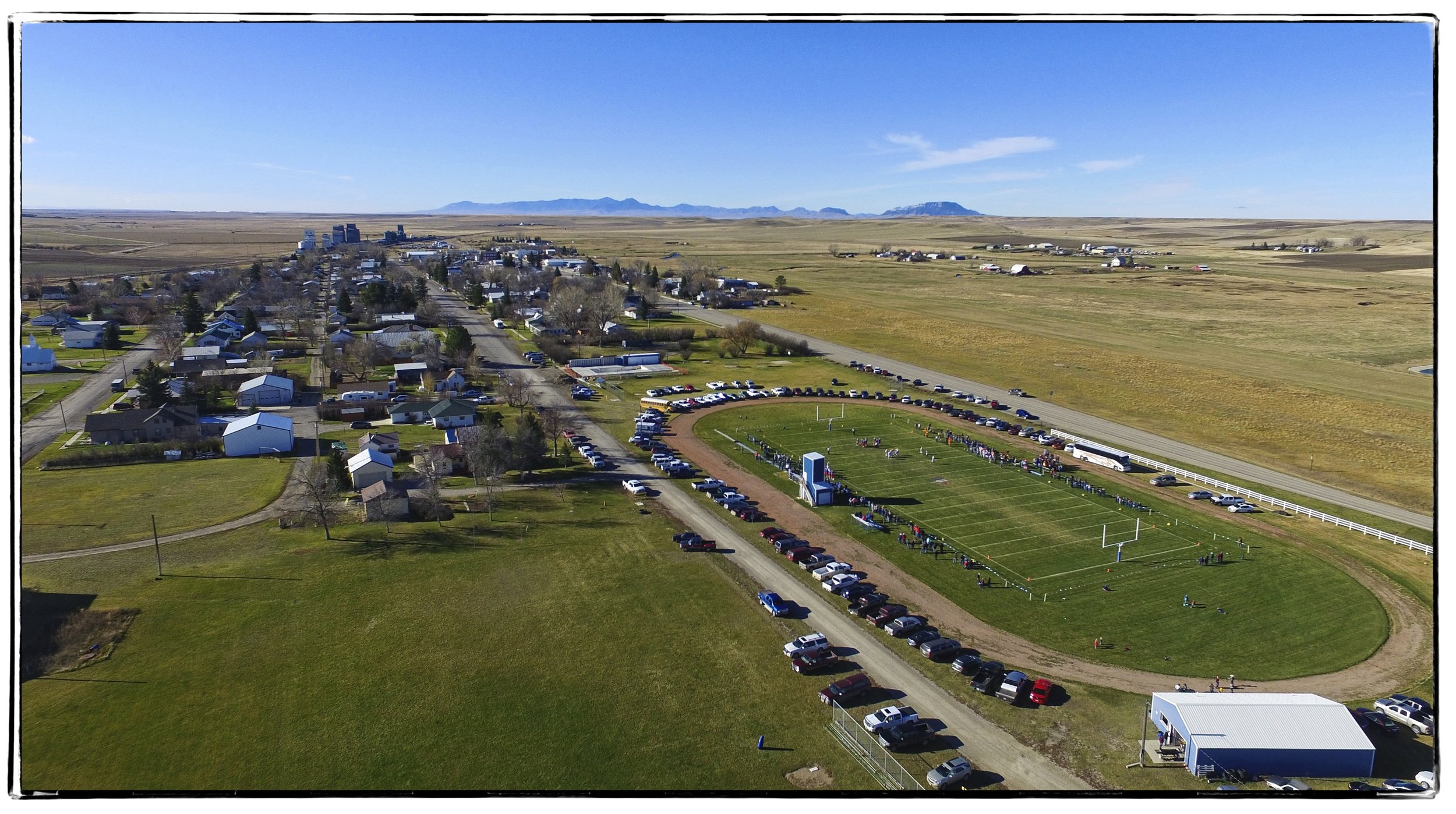
Denton Gridiron
Denton, Montana. (DJI Phantom 3)

Zier's Auto Salvage
Deaver, Wyoming. (DJI Phantom 3)
Almost Straight Down
Pryor Mountain Wind Project near Bridger, Montana. (DJI Mavic Air 2)

Laurel, Montana Refinery
Owned by CHS, this refinery produces 56,000 barrels per day of gasoline and diesel fuels. (DJI Phantom 3)

The Healing Space
Cody, Wyoming. (DJI Phantom 3)

The Road Seldom Taken
Polecat Bench near Powell, Wyoming. (DJI Phantom 3)
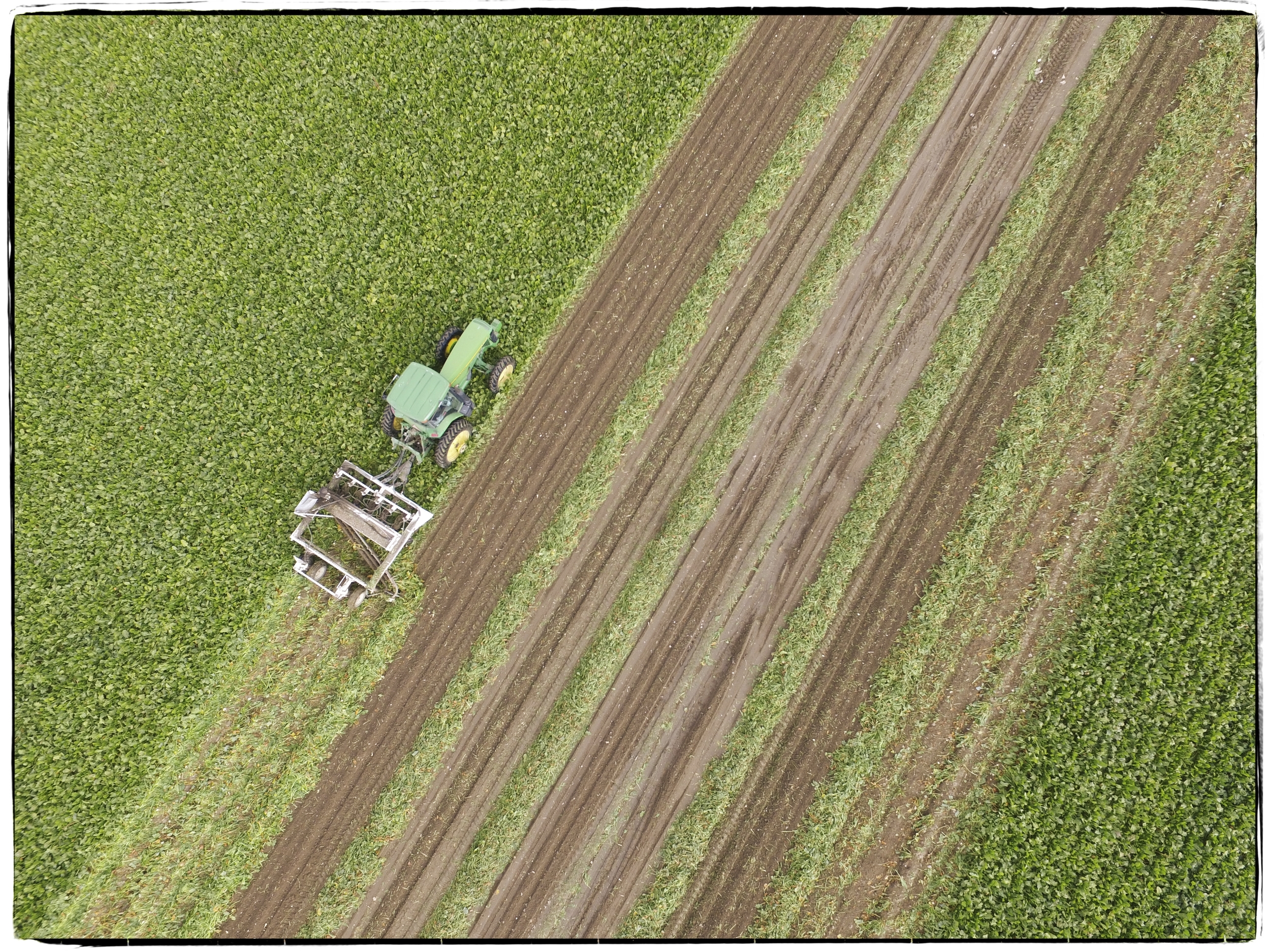
Sugar Beet Harvest
Near Cody, Wyoming. (DJI Phantom 3)
Judith Gap Wind Farm
Between Judith Gap and Harlowton, Montana. (DJI Phantom 3)

Edwin Shaw Hospital
Near Akron, Ohio and now abandoned and leveled. (DJI Phantom 2)
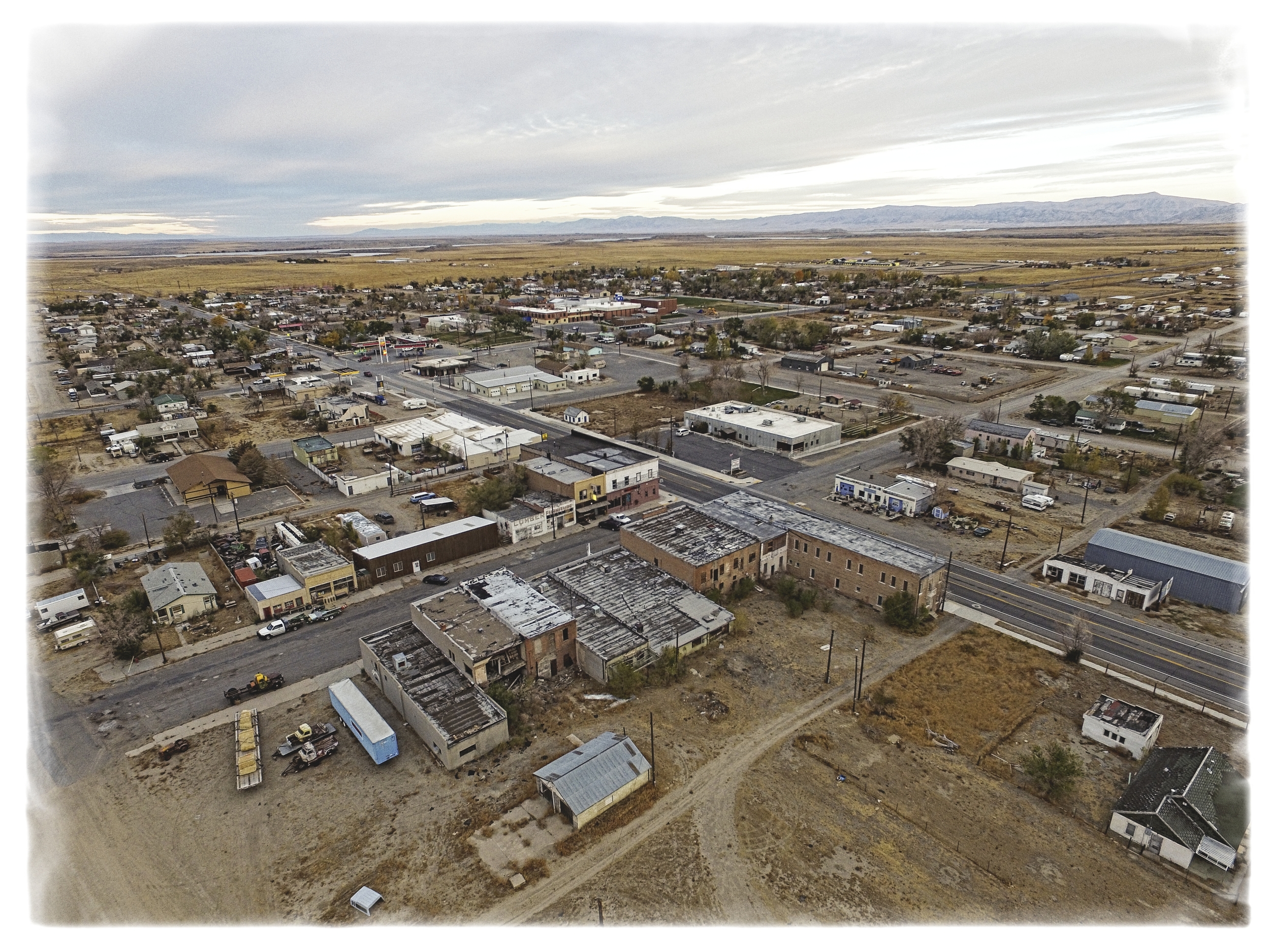
Shoshoni, Wyoming
Between Casper and Riverton. (DJI Phantom 3 )
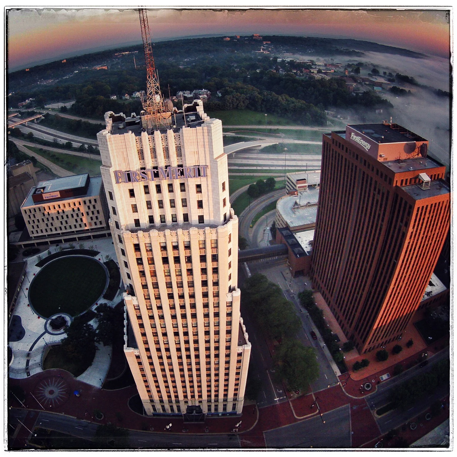
First Merit & Energy
Downtown Akron over Main Street at 375 feet. (DJI Phantom 2)

Goodyear Tire & Rubber Complex
Akron, Ohio. (DJI Phantom 2)
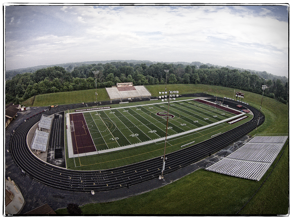
Stow Gridiron
The Stow-Monroe Falls Bulldogs play here—not far from Akron, Ohio. (DJI Phantom 2)

Lake Kim Tam Park
South of Akron and near the Summit, Stark, and Portage County boundary in Northeast Ohio. (DJI Phantom 2)

WWII Japanese-American Confinement Site
A museum including relic buildings and artifacts from Wyoming’s third largest community during World War II. At its peak, 10,767 residents occupied the site. (Mavic Air 2)

Frannie, Wyoming
Located near the Wyoming-Montana border. Population 157. (DJI Phantom 3)

Lower Beartooth Highway
Not far from Crandall, Wyoming. (DJI Phantom 3)

Polecat Bench
With the Absaroka Range in the background—near Powell, Wyoming. (DJI Phantom 3)

East Polecat Bench
Near Powell, Wyoming. (DJI Mavic Air 2)
Air Wyoming Still Photography DJI Quadcopters
Our professional-level quadcopters are ideal for still and video photography carrying 4K HD/48MP cameras. An on-board GPS guarantees steady in the air (even in modest winds) performance and a number of programmable flight modes including waypoints, point-of-interest and several panoramic options—all with a range of over two miles.